

Bottom line: No weather trouble for today’s commutes or for Veterans Day, with highs in the mid 60s. Plan on a wet Thursday, then a much colder Friday and weekend.
| Day | Sky | High / Low | Rain |
|---|---|---|---|
| Tue | Turning sunny | 66 / 44 | Dry |
| Wed | Increasing clouds | 64 / 46 | Dry |
| Thu | Rain | 62 / 41 | 90% |
| Fri | Chance of rain | 49 / 36 | 50% |
| Sat | Partly sunny | 48 / 36 | Dry |
| Sun | Mostly sunny | 51 / 34 | Dry |
| Mon | Mostly sunny | 52 | Dry |
Today
Morning clouds thin out and the afternoon turns sunny. The high is near 66, with a west wind of 5 to 15 mph. No rain is in the forecast.
Tonight
Clear, with a low around 44 and a west wind near 5 mph. Mount Holly forecasters mention patchy frost in parts of South Jersey and Delmarva, where lows dip into the 30s. The city forecast stays in the 40s.
Tomorrow
Veterans Day is dry, with clouds increasing through the day and a high near 64. Wind is calm early, then west around 5 mph. Wednesday night is mostly cloudy with a low around 46 and a 20 percent chance of rain after 1 a.m.
The week ahead
Thursday is the wet day: a 90 percent chance of rain, an east wind of 5 to 10 mph and a high near 62. The forecast gives 0.10 to 0.25 inch during the day and another 0.10 to 0.25 inch Thursday night, when the chance is 70 percent. Friday keeps a 50 percent chance of rain and only reaches about 49, with the last of it expected before 1 a.m. Saturday. The weekend is dry and cold for mid-November, with highs of 48 Saturday and 51 Sunday and lows in the mid 30s.
Behind the forecast
High pressure building east from the Gulf Coast keeps us quiet through Wednesday before it slides offshore. A deep upper-level trough then spins up a surface low that strengthens over the Mid-Atlantic and Northeast Thursday into Friday, and colder air pours in behind it. Mount Holly says the storm track is still uncertain, and that track controls rain totals, wind and any coastal flooding. Rain is the expected precipitation type here, with any snow limited to the higher ground of the southern Poconos.
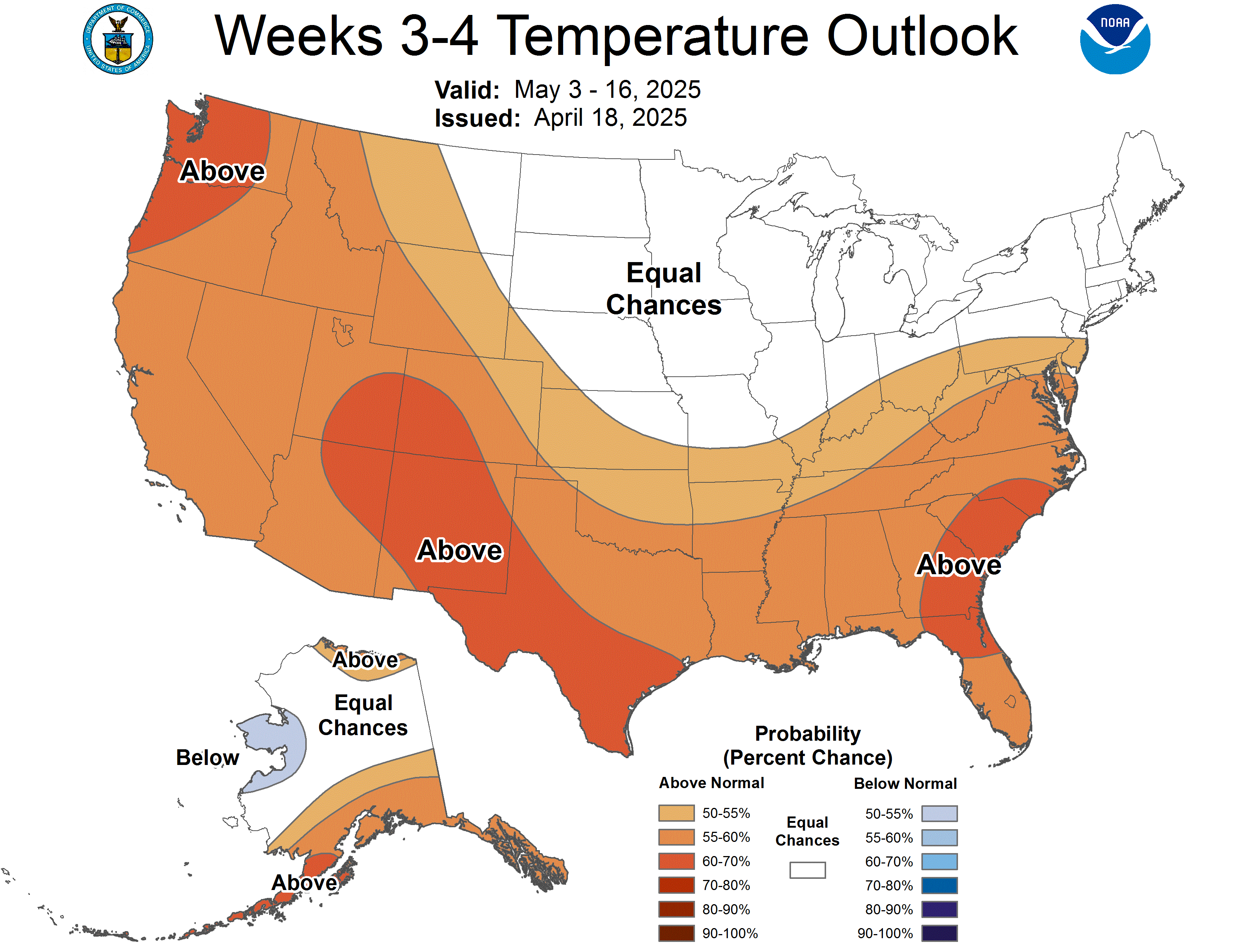
Two large-scale drivers are pulling in opposite directions. The first is El Niño: the Climate Prediction Center’s October 8 discussion keeps an El Niño Advisory in place, puts the Niño 3.4 sea surface temperature anomaly at 2.1 degrees Celsius above average for the prior month, and calls a strong to very strong event likely through winter. The second is in the stratosphere. CPC’s Week 3-4 discussion from November 6 says an unusually early sudden stratospheric warming, a rapid warming high over the Arctic that weakens the polar vortex, is underway and may tie to a negative Arctic Oscillation in the near term. In a NOAA Climate.gov composite of the 30 days after past major warmings, the eastern United States leans modestly colder, though the authors stress this only loads the dice. CPC expects this warming to be short-lived and El Niño to win out, with a ridge over eastern Canada and the Northeast that limits Arctic outbreaks. Its outlooks agree: near normal temperatures for Pennsylvania November 15 to 19, then a lean warmer than normal November 17 to 23 and again in the November 21 to December 4 outlook. That favors this weekend’s chill being brief, not the start of a lasting cold pattern.
Tools: Commute Index | Live Traffic Cameras | Radar
Forecast data: National Weather Service, Mount Holly. Point forecast generated 8:20 a.m. EST Tuesday, November 10; forecast discussion issued 6:23 a.m. EST. Pattern sources: CPC ENSO Diagnostic Discussion (October 8), CPC Week 3-4 Outlook (November 6), CPC 6-10 and 8-14 Day Discussion (November 9), NOAA Climate.gov Polar Vortex Blog (Butler and Ciasto, February 29, 2024).
Discover more from Philadelphia Weather Authority
Subscribe to get the latest posts sent to your email.